EuroVelo 1
Atlantic Coast Route
Wexford
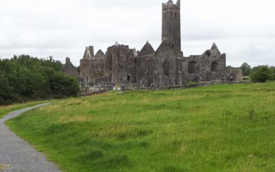
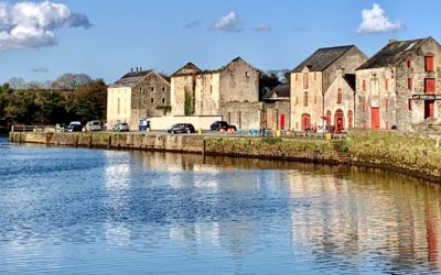
Waterford
Cork
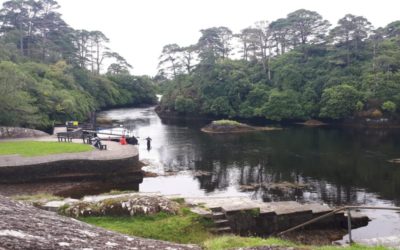
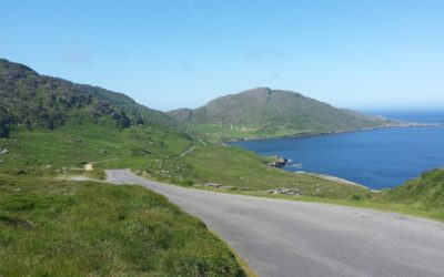
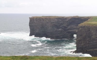
Kerry
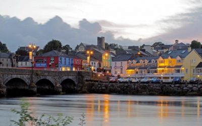
Limerick
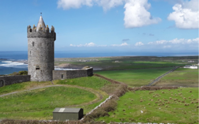
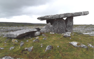
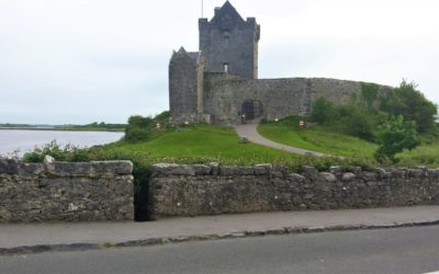
Clare
Galway
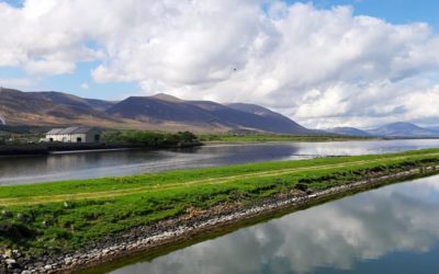
Mayo
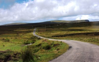
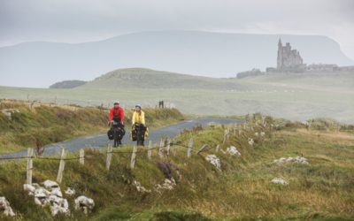
Sligo
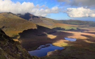
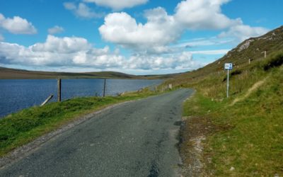
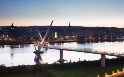
Donegal
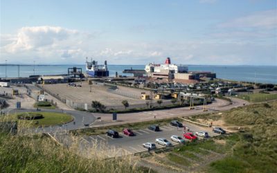
From Rosslare Harbour to Wellingtonbridge, this section of the Eurovelo takes you through the remote idyllic lowlands of South County Wexford, speckled with Norman towers and medieval sites, with miles of golden sandy beaches close by every part of the route.
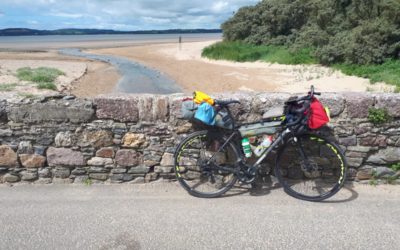
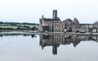
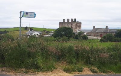
Discover the rugged coastal landscape of the Hook Peninsula, cycling through historic ancient Christian and Norman sites with much to discover and enjoy along the way.
A brief resume of this section